Standard Search Assumes You Know the Words
Most search experiences in enterprise data management and analysis software still start with the same basic assumption: the user knows what they are looking for, and more specifically, which words to type: Type the right phrase, find the right document. Ask the right question, get the right answer.
That works well enough when the task begins with a known term, title, author, asset, or dataset. But in mineral and energy exploration, that is often not how the work begins.
Natural Resource Exploration Starts With Geographical AOIs
In natural resource exploration, the starting point may be a license block, a structural corridor, a basin edge, or a zone around infrastructure. Not a keyword.
Of course, exploration is rarely a blank slate. In a given region, teams often have a working expectation shaped by known discoveries, deposit models, and regional geology: porphyry copper and IOCG systems in Chile, kimberlite-hosted diamond systems across parts of southern Africa, BIF-hosted iron ore and lateritic bauxite provinces in Australia.
But even then, the practical question often starts with place.
What evidence intersects this area of interest?
What has been mapped, sampled, drilled, interpreted, or overlooked nearby?
Or a more advanced question: What does the evidence in this area indicate or suggest?
In other words, exploration often starts with a geospatial boundary — an AOI.
This is different from consumer geospatial search experiences like Expedia or Airbnb. Geography matters there, but the search usually starts with dates, availability, and preferences. In exploration, the area itself is often the first constraint.
A text query asks: “What term are you looking for?”
A spatial query asks: “Where are you trying to understand?”
Understanding that difference is important because valuable exploration evidence is not always easy to retrieve by keyword. It may be buried inside legacy reports, local place names, inconsistent coordinates, operator-specific terminology, outdated geological models, or scanned maps and figures that were never built for modern search.
In mineral, hydrocarbon, and other natural resource exploration, if search depends only on words, teams can miss evidence that is spatially relevant but conceptually hidden.
But when users begin with an area of interest, a system can surface the entire plethora of documents, maps, observations, and interpreted data that intersect that space. And when that information has been intelligently processed, geotagged, enriched, and connected, the results can go beyond “what was physically acquired here” to include evidence that helps explain or contextualize that place, like a discussion on an analog that mentions the AOI in question.
A Practical Exploration Use Case
Imagine a team evaluating a new license block or open acreage position using a government data room and their own corporate data. Before they can form a technical view, they need to understand what evidence already exists across that area and its surroundings: historical reports, maps, geochemical samples, drillhole references, structural interpretations, nearby discoveries and infrastructure, and analog deposits.
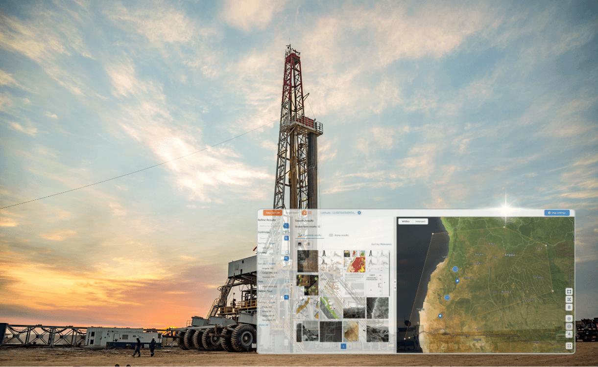
In a conventional search environment, that work usually requires a series of keyword searches, manual filtering, map checks, lengthy document reviews, and expert judgment to connect the dots and decide what’s relevant and what isn’t.
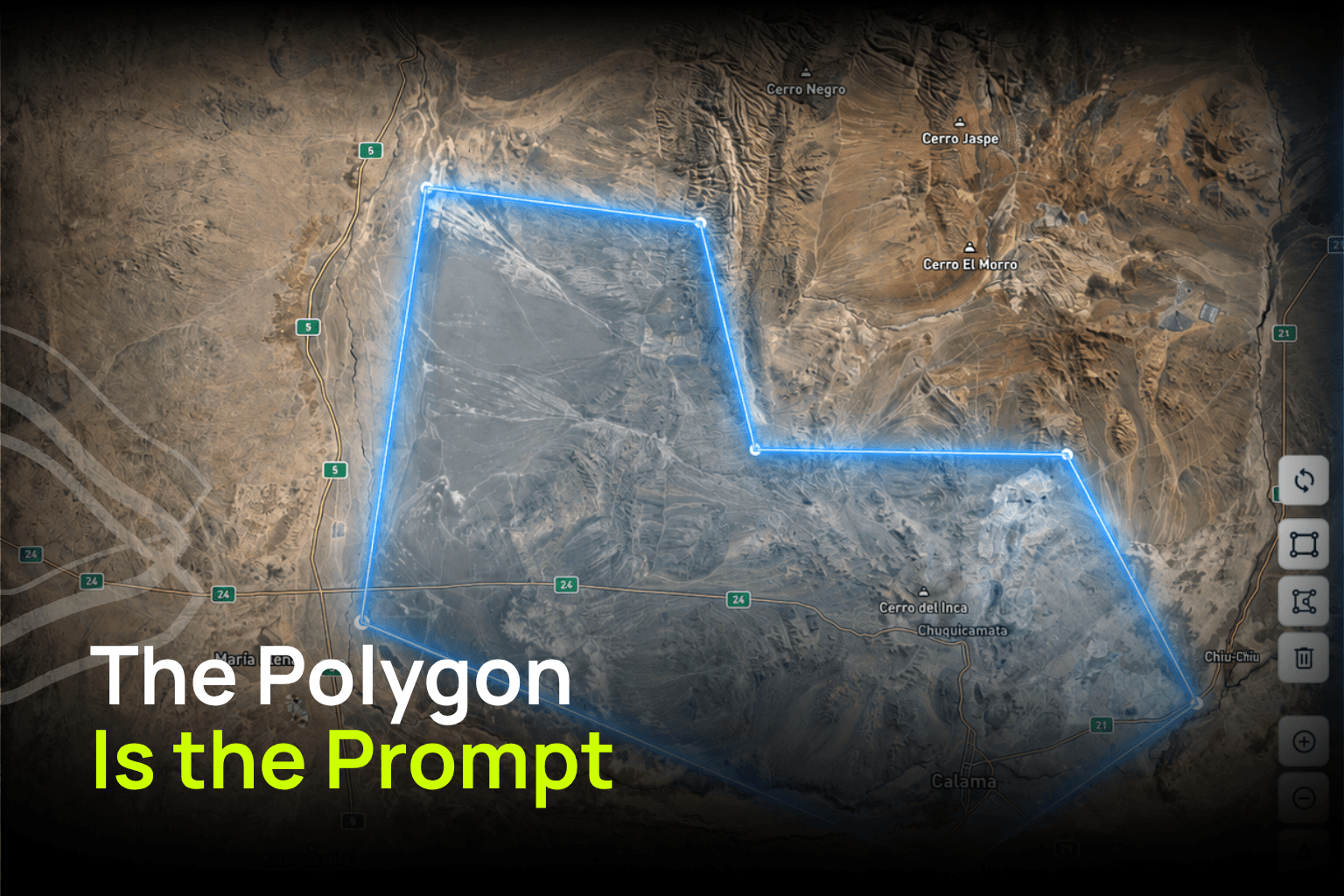
With spatial search, the AOI becomes the starting point. The user can create a polygon and ask the system to retrieve the evidence that intersects, overlaps, or meaningfully relates to that place.
That turns the first step of exploration search from “Which terms should I try?” into “What does the data I have say about this area?”
The Polygon Is the Prompt
In GeoIntelX, our flagship geospatial intelligence platform, a polygon is more than a drawing or selection tool. It is a way to focus the AI’s evidence base.
A user can begin by asking: “What do we know inside this area?” Then, once the local evidence is understood, the question can expand: “What geological settings, patterns, or analogs resemble this area?” That is much closer to how exploration actually works.
Economic geologists start with real-world constraints: an assigned region, a license block, open acreage, infrastructure, basin access, time, budget, and uncertainty. They inspect and analyze as much of the available evidence as they can, often under significant time pressure. Then they expand the frame, test assumptions, compare analogs, and decide where to focus next.
Search should support that workflow.
FAQ
What does it mean for a polygon to be the prompt?
It means the area of interest becomes the starting context for the search. Instead of asking the user to begin with the perfect keyword, the system uses the polygon to focus the evidence base around a real geographical boundary.
Why does this matter in mineral and energy exploration?
Because exploration evidence is often spatial before it is semantic. Reports, maps, samples, wells, drillholes, prospects, structures may be relevant because of where they are located, even if they are described using different terminology across different documents or time periods.
Is this only useful for finding documents inside a boundary?
No. The boundary is only the starting point. Once the local evidence is understood, with the help of an AI Exploration Agent, the user can expand the question to nearby areas, similar geological settings, regional trends, and analog systems that may help contextualize the AOI.
How is spatial search different from a normal filter on a map?
A normal map filter helps users narrow what they are seeing, usually through predefined categories, tags, keywords, layers. A state or country filter, for example, is spatial, but rigid. A polygon makes the searched spatial extent entirely flexible: instead of forcing the user to search within predefined boundaries like “Nevada” or "Chile," it lets them define the exact area of interest and retrieve the evidence that intersects, overlaps, or meaningfully relates to that space.